This summer, the Competence Centre for Geoinformation (CCG) of the Swiss Parks Network, in collaboration with the Department of Geography of the University of Zurich (GIUZ), organised an introductory training course on ArcGIS Pro for employees of the Swiss parks.
Category Archives: Geodata
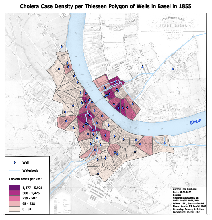
Cholera 1855 in Basel: Between History, Epidemiology and Geographic Visualisation
In 1854, Dr. John Snow creates a map of cholera cases in London’s Soho district. He can thus show that the disease is transmitted through contaminated water. In her Master’s thesis, Inga Birkhölzer investigated what can be extracted today from the cholera figures of 1855 in Basel using geographical visualisation.
From background maps and time series to toilet tiles in the national map look
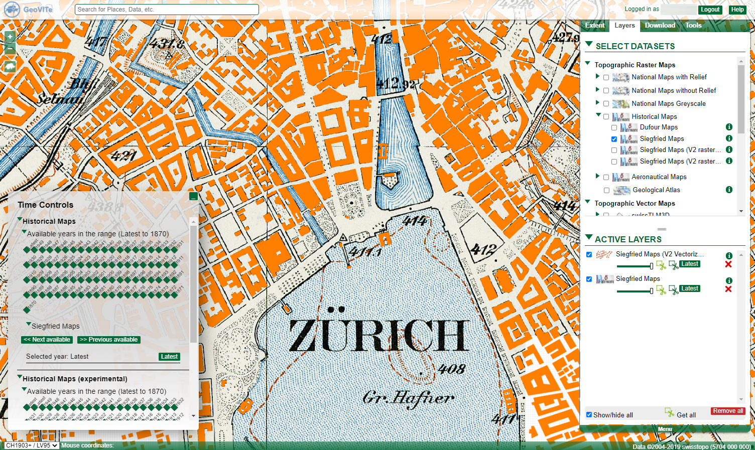
The GeoVITe platform provides topographic raster and vector maps, digital elevation models and orthophotos for research. Roman Walt, who supports and advises the users of the platform, explains in an interview how the data from GeoVITe can be used, what the added value is compared to the data from Swisstopo – and he reveals the funniest request.


