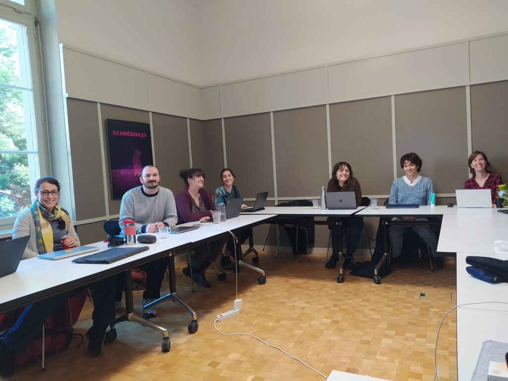
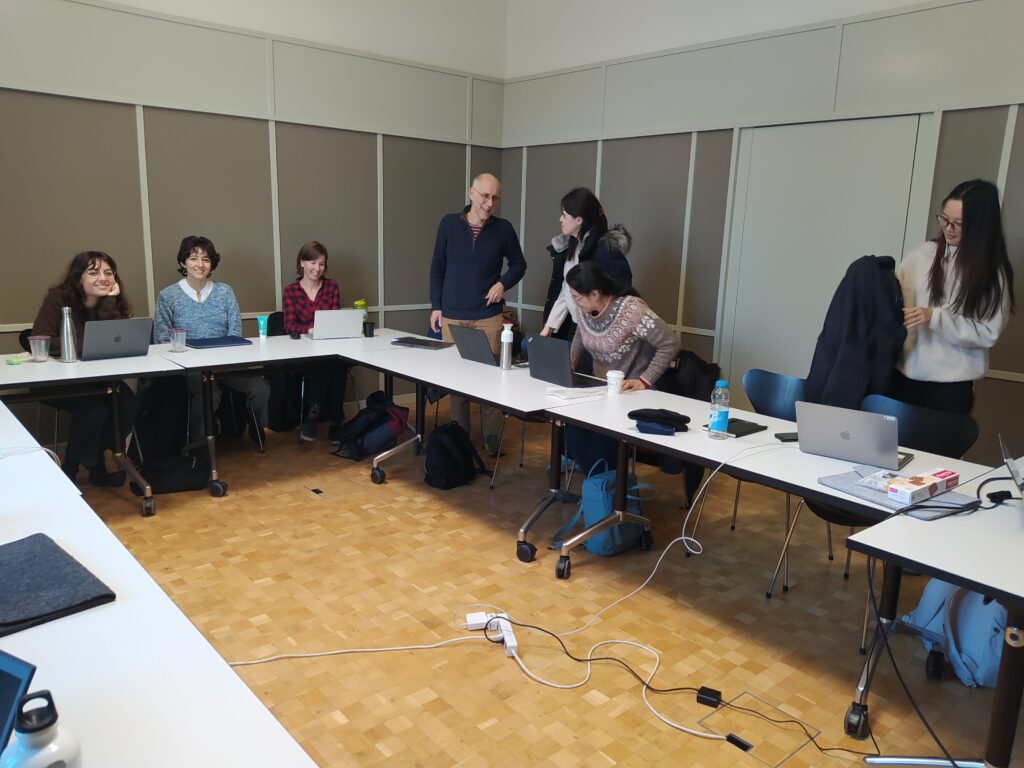
Today marked the final workshop organized by the GIS Hub, where ten eager participants gathered to learn about geoparsing place names in texts. In this brief blog post, we’ll explain what geoparsing is and how you can use the Python library developed by a former geography student at UZH.
Geo-what? Geoparsing involves recognizing and resolving place names (toponyms) in unstructured text, such as news articles and social media posts, by linking them to their corresponding geographical locations (source: Irchel Geoparser — Irchel Geoparser 0.1.8 documentation). These geoparsed place names can then be mapped.
The Irchel Geoparser is a Python library developed by Diego Gomes during his Master’s thesis in Geography at UZH. In the workshop, Diego demonstrated how the Irchel Geoparser can be applied and modified for different gazetteers or languages.


If you are interested, but missed today’s workshop, you can try geoparse on your own with the material Diego made available on GitHub as well as with the Irchel Geoparser Documentation.
If you train your own model for a language other than English or for a gazetteer other than geonames, then please let us or Diego directly know. Contributions or further development are very welcome :-)!
The header image shows a map with the headlines retrieved by geoparsing the Google News RSS feed based on the keyword “snow” on 29 November 2024.
