Do you want to know more about OpenStreetMap (OSM) and how you can use OSM data for your research? Do you have a specific question about OSM? Then join us“OpenStreetMap for Research and Geospatial Analysis” weiterlesen
Schlagwort-Archive:Fieldwork
Wie starte ich ein neues Projekt in QGIS?
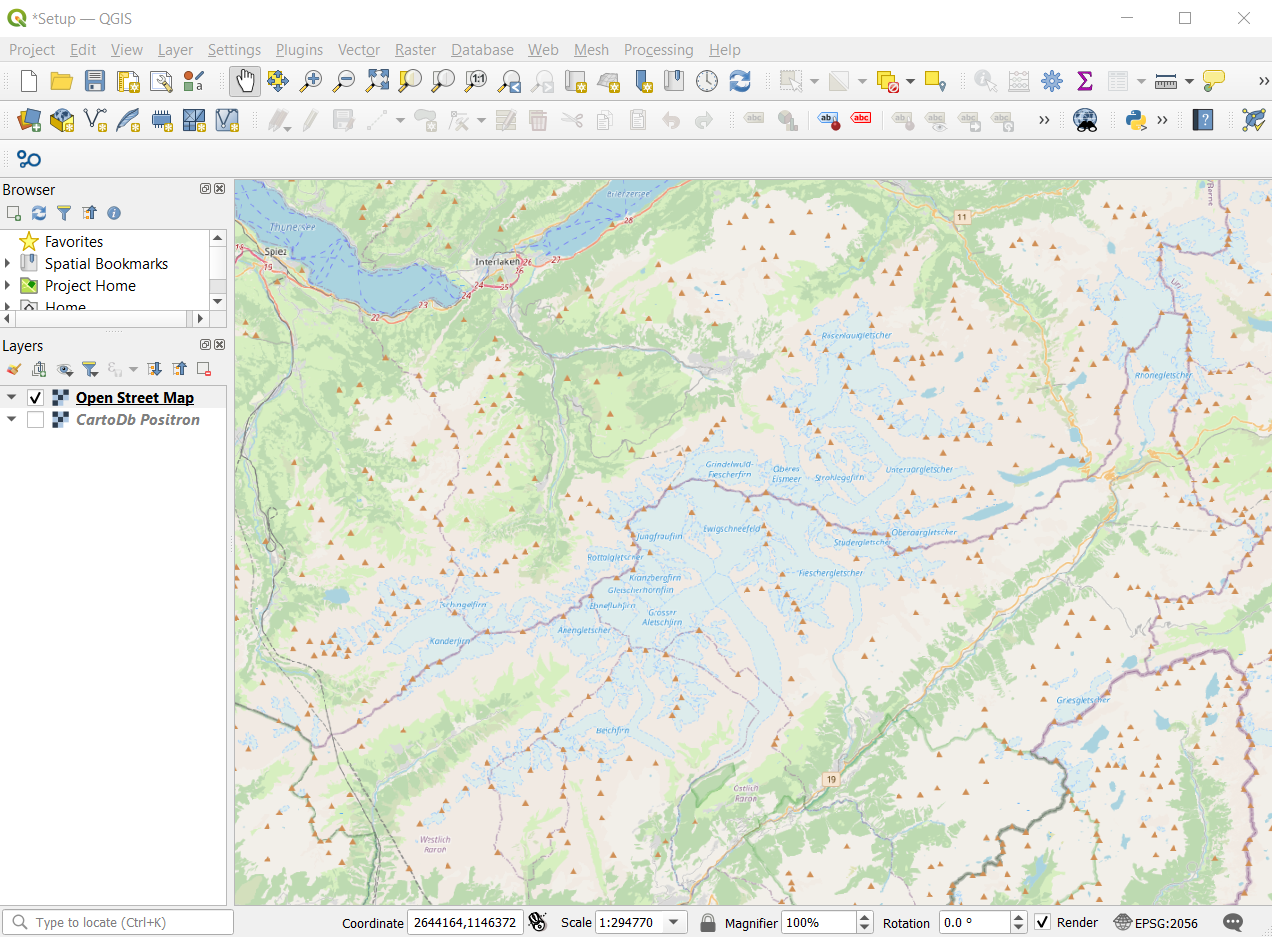
Du hast räumliche Daten, die du analysieren willst, aber weisst nicht wie starten? Dieses kurze Tutorial zeigt dir, wie du QGIS installierst, ein Projekt aufsetzt und deine Daten importierst.
Using GIS to tackle the SDGs

How do companies, NGOs and public institutions monitor their progress towards the sustainable development goals (SDGs), and how can GIS software contribute? Five speakers provided answers from different perspectives at the event “Using GIS to tackle the SDGs”, organized by the GIS Hub and ESRI Switzerland.
“I love to see my data on a map”

As a dialectologist, Carlota de Benito Moreno is interested in how linguistic features change over time and space. By plotting her data on a map and combining it with historical data, she can detect diffusion patterns, divides, or clusters. Sometimes, she even discovers something she did not expect.
Von der Wundermaschine zum kritischen Tool
Als sich Archäologe Timo Geitlinger vor ein paar Jahren zum ersten Mal an eine GIS-Software wagt, meint er, eine Wundermaschine vor sich zu haben. Heute hingegen weiss er, wie die Wunder zustande kommen und wie vielseitig und geschickt er die Software in seiner Forschung einsetzen kann.
“I will use GIS software again in my career”
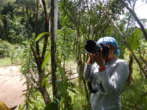
Lovasoa Rakotozafy, a PhD student in Ecology at UZH, used a GIS software to prepare her field work in Madagascar. «There are a lot of things of which I don’t know how I would have done them without the software», she admits.